-
Date de parution : 01/01/2012
-
Editeur :
Ciheam
-
EAN : 9782853524827
-
Série :
(-)
-
Support :
Papier
Résumé:
The most widely used method for estimating crops water requirements is the FAO approach, which takes into account: (i) climatic variables included in the reference evapotranspiration and (ii) the crop type, characterized by the crop coefficient (Kc). In citrus trees, Kc is mostly function of the... Voir plus
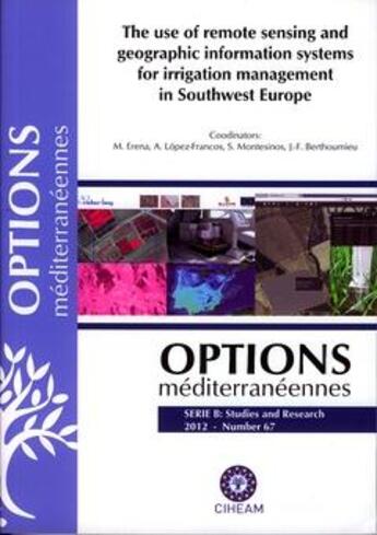
The most widely used method for estimating crops water requirements is the FAO approach, which takes into account: (i) climatic variables included in the reference evapotranspiration and (ii) the crop type, characterized by the crop coefficient (Kc). In citrus trees, Kc is mostly function of the tree ground covers (GC). In large areas tree ground covers (GC) can be estimated by means of remote sensing tools, and once tree water needs are calculated, this information can be implemented in geographic information systems. The present article summarizes some of the research conducted in order to estimate citrus water needs in large irrigated areas. It describes first how tree ground covers (GC) can be obtained by using image analysis tools applied to multispectral images. Tree water needs are obtained and they are compared with the real water applications for a case study of citrus water use associations. The results obtained allowed to conclude that the tools developed might be useful for improving irrigation efficiency showing some of the deficiencies currently found in irrigation management of collective water networks.
Donner votre avis


